
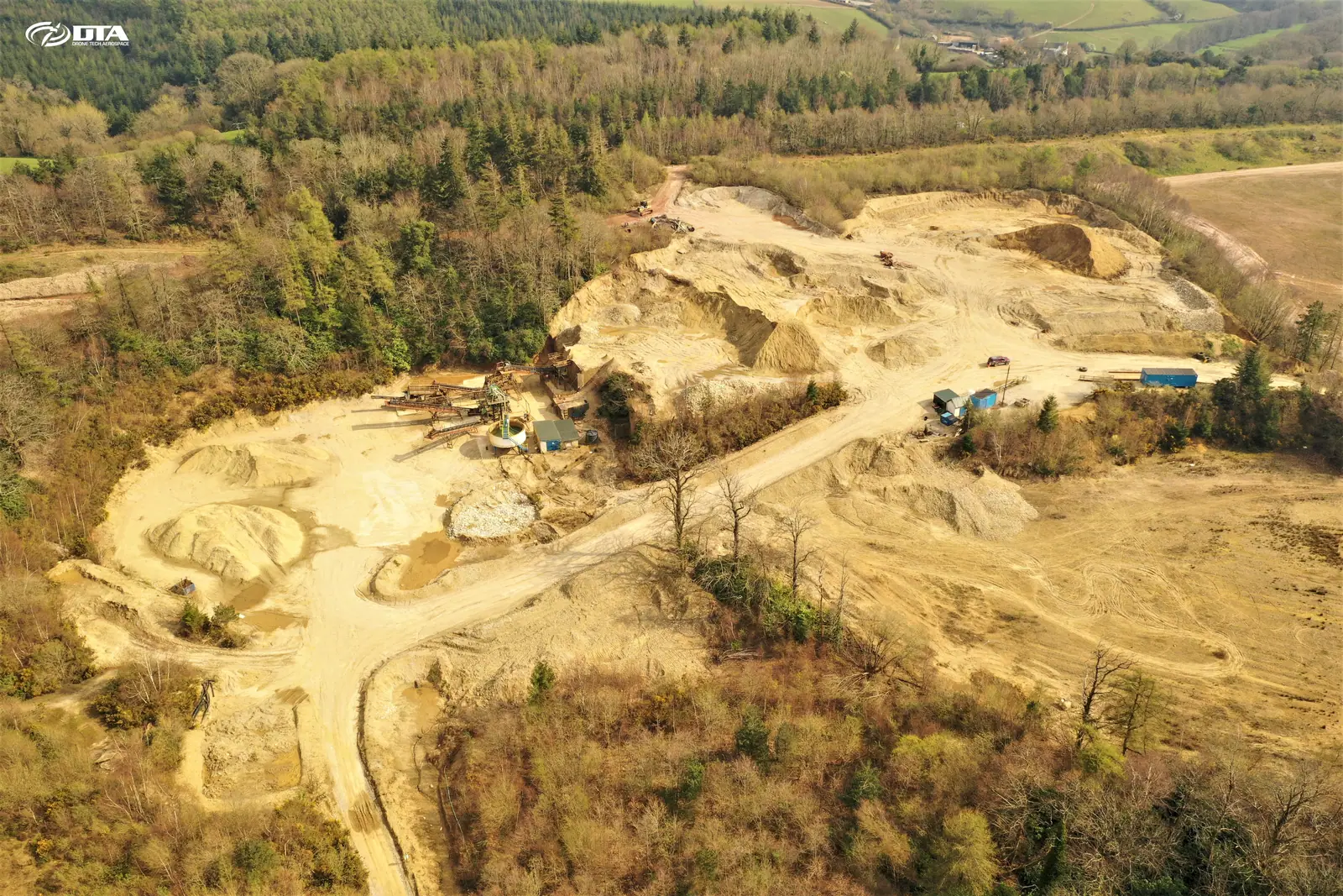
UK drone survey · measurement · inspection
Aerial data you can build on.
Drone topographical surveys, volume measurement, inspections and progress media — delivered as CAD-ready plans, models and reports.
What we do
Four ways we turn flights into site intelligence
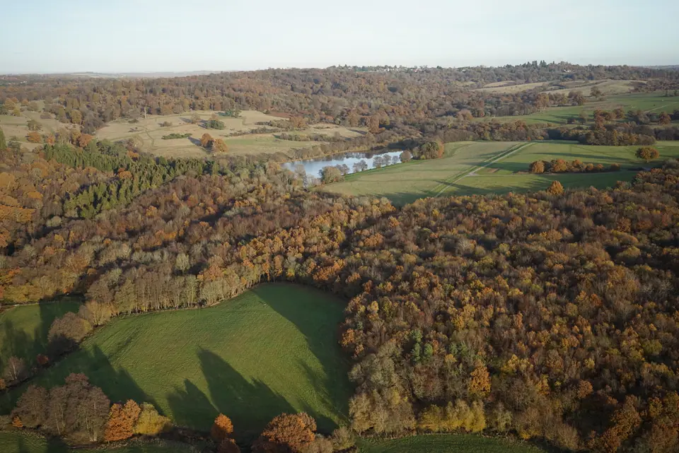
Digital topographical surveying
Whole sites captured in a day and delivered as plans, contours, point clouds and 3D models.
TOPO PLANS CONTOURS POINT CLOUD CAD / GIS
Explore surveying
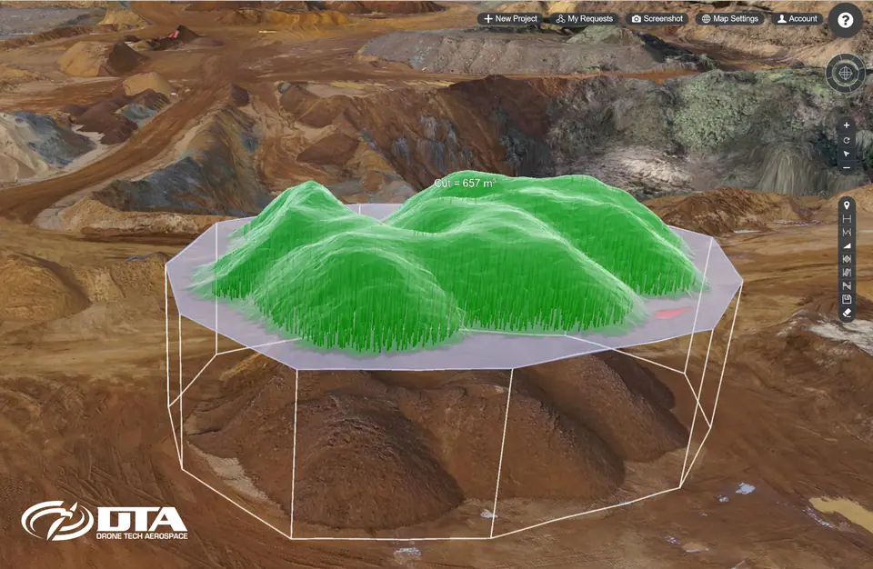
Volumes, grades & tonnages
Stockpiles, earthworks and landfill cells measured from survey data — repeatable, auditable, fast.
VOLUMES CUT & FILL LEVELS CHANGE OVER TIME
Explore volumes
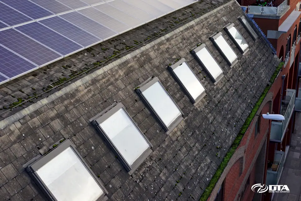
Drone inspections
Roofs, structures and hard-to-reach plant inspected in detail — without scaffolds or work at height.
ROOFS STRUCTURES CONFINED SPACE DEFECT RECORDS
Explore inspections

Media & project progress
Broadcast-quality photography, video and repeat progress records from consistent viewpoints.
PROGRESS PROMO VIDEO BEFORE / AFTER STAKEHOLDER UPDATES
Explore media
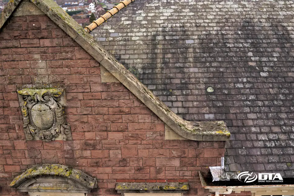
For building surveyors
The aerial data behind building condition reports
We partner with building surveyors across the UK, capturing high-end roof and elevation detail their condition surveys depend on.
You keep the client and the professional judgement — we supply the evidence.
Building condition surveysHow it works
From enquiry to usable data
-
STEP 01
Scope & quote
Tell us the site and the outputs you need. We confirm scope and price — free, no obligation.
-
STEP 02
Plan & permissions
Flight planning, site liaison, risk assessments and any airspace permissions handled by us.
-
STEP 03
Fly & capture
Our own pilots capture the site — typically in a fraction of the time ground methods need.
-
STEP 04
Process & deliver
Data processed into the plans, models and reports your team can use straight away.
Deliverables
What you actually receive
Real outputs from real projects — not promises. Every deliverable arrives in formats your CAD, GIS or BIM workflow already uses.
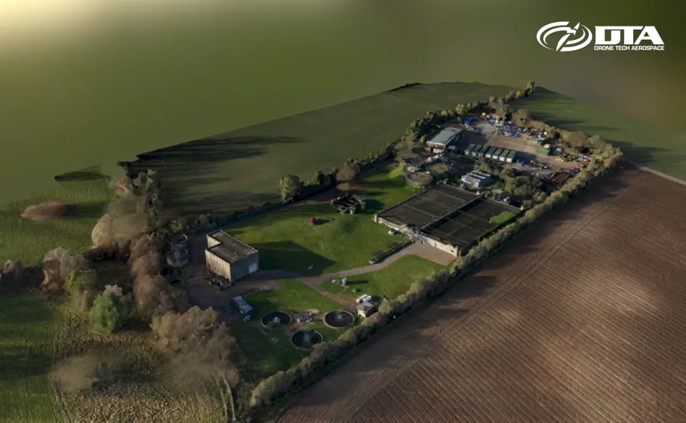
Orthomosaic imagery
A single, measurable top-down image of the whole site.
Georeferenced · print & GIS ready
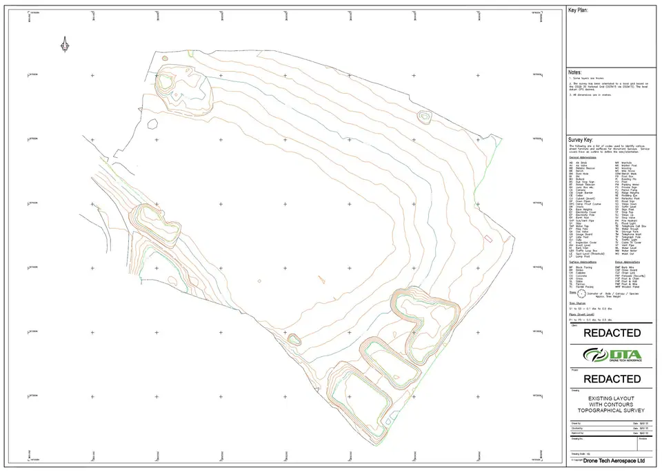
Topographical plans & contours
Traditional 2D drawings your engineers can design from.
CAD formats · levels & features
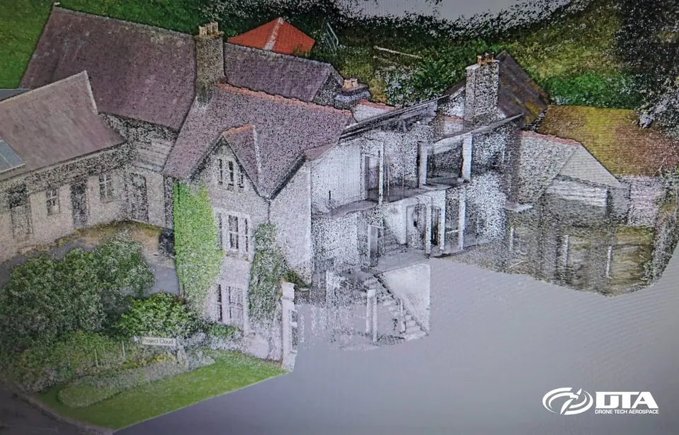
Point clouds
Dense 3D measurement data for design, BIM and analysis.
Aerial + terrestrial merge
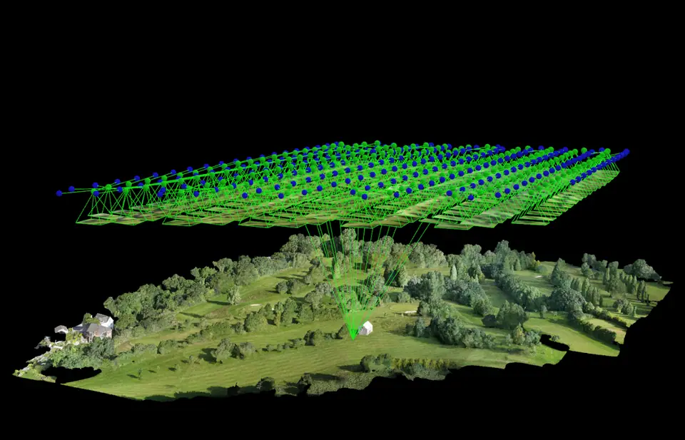
3D site & terrain models
Digital terrain and surface models, plus interactive fly-throughs.
DTM / DSM · model fly-through
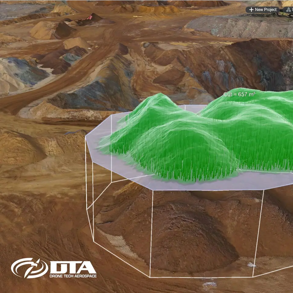
Volume reports
Stockpile and earthworks quantities, comparable survey to survey.
Volumes · levels · change
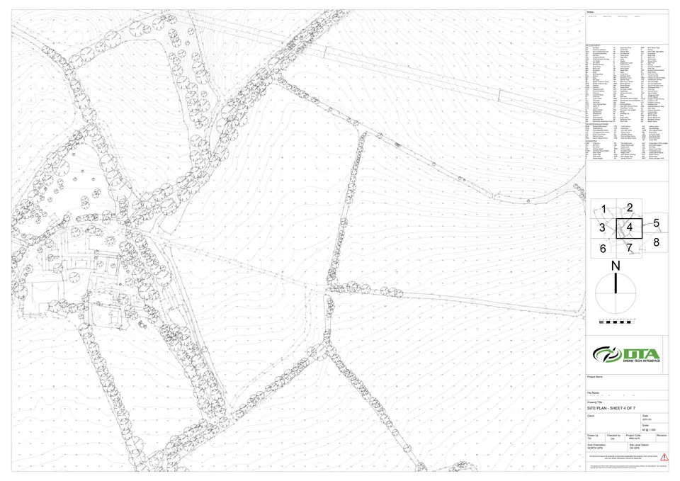
CAD & GIS outputs
Standard interchange formats used across surveying and civils.
Industry-standard formats
Track record
Trusted on the UK's biggest sites
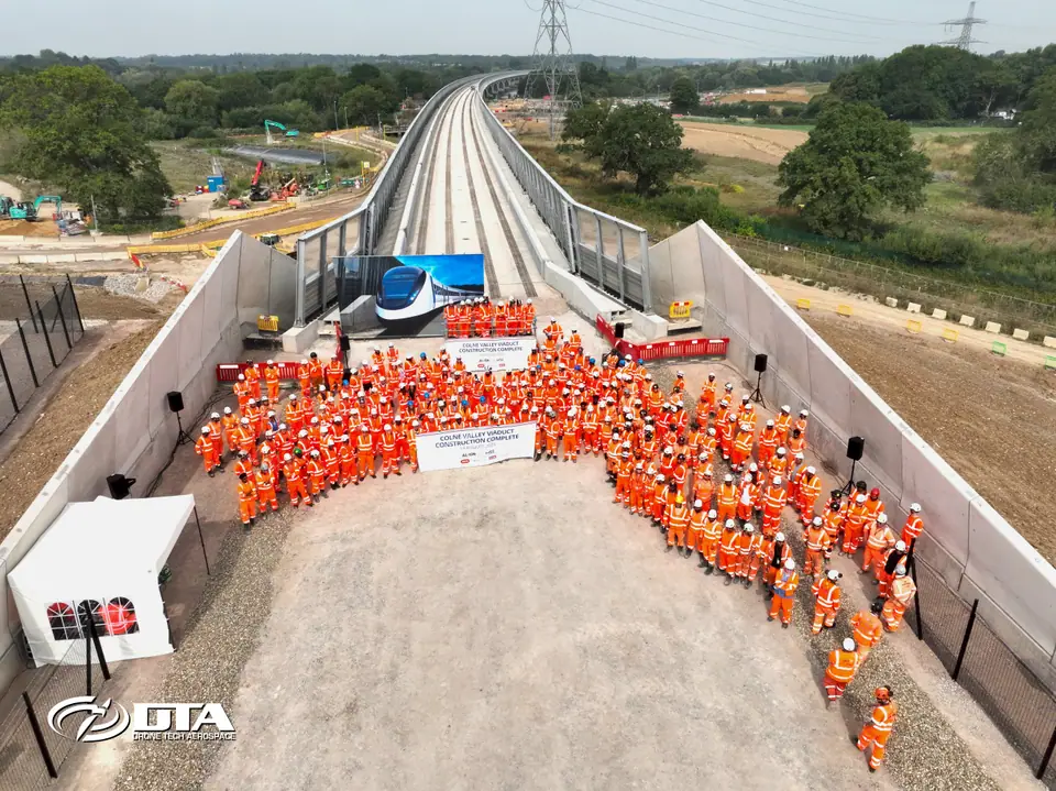
- On HS2
- 6+ years
- greenfield surveys to viaduct completion
- Largest survey
- 1,200 ha
- believed the UK's largest by drone
- Operating since
- 2014
- owned and run by its two directors
- One campaign
- 144 roofs
- inspected in Central London in 2 months
"The outputs provided from the survey exceeded our expectations with a significant level of detail and accuracy."
Trusted by
From tier-one contractors to national utilities












Who we help
Built for your sector
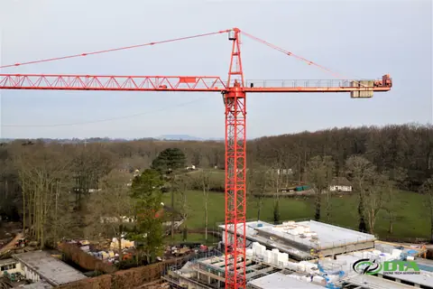

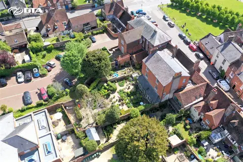
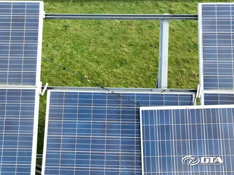
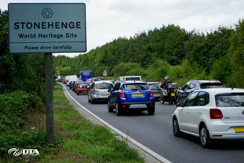

Coverage
UK-wide, with our own pilots
We fly across England, Wales and Scotland with in-house pilots and survey technicians — never white-labelled subcontractors.
Coverage excludes Northern Ireland at present.
Cardiff HQ
2 Alexandra Gate, Ffordd Pengam, Cardiff CF24 2SA
Wiltshire
96 Curlew Drive, Chippenham SN14 6YQ
West Wales
Cwch Gwenyn, Llandeloy, Pembrokeshire SA62 6LJ
Free, no-obligation quotation
Tell us about your site.
Send the location and what you need — we'll come back with a clear scope and price.