
Who we help
Built for your sector.
The same four services — surveying, volumes, inspections and media — applied to the specifics of your site and industry.
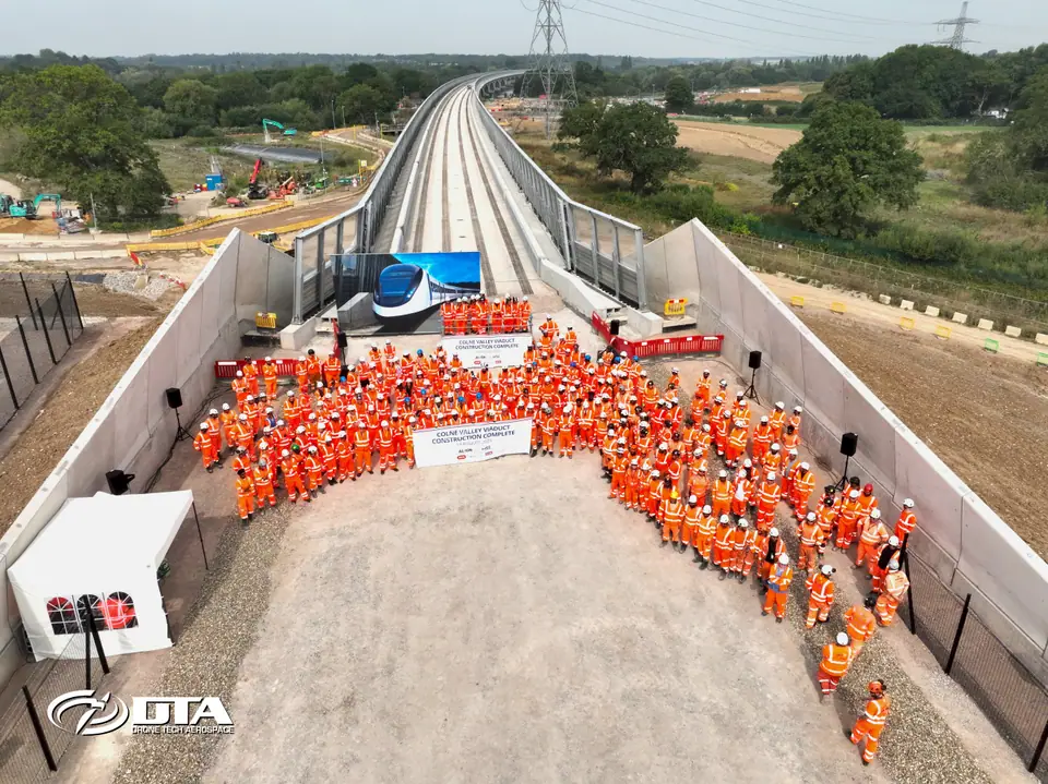
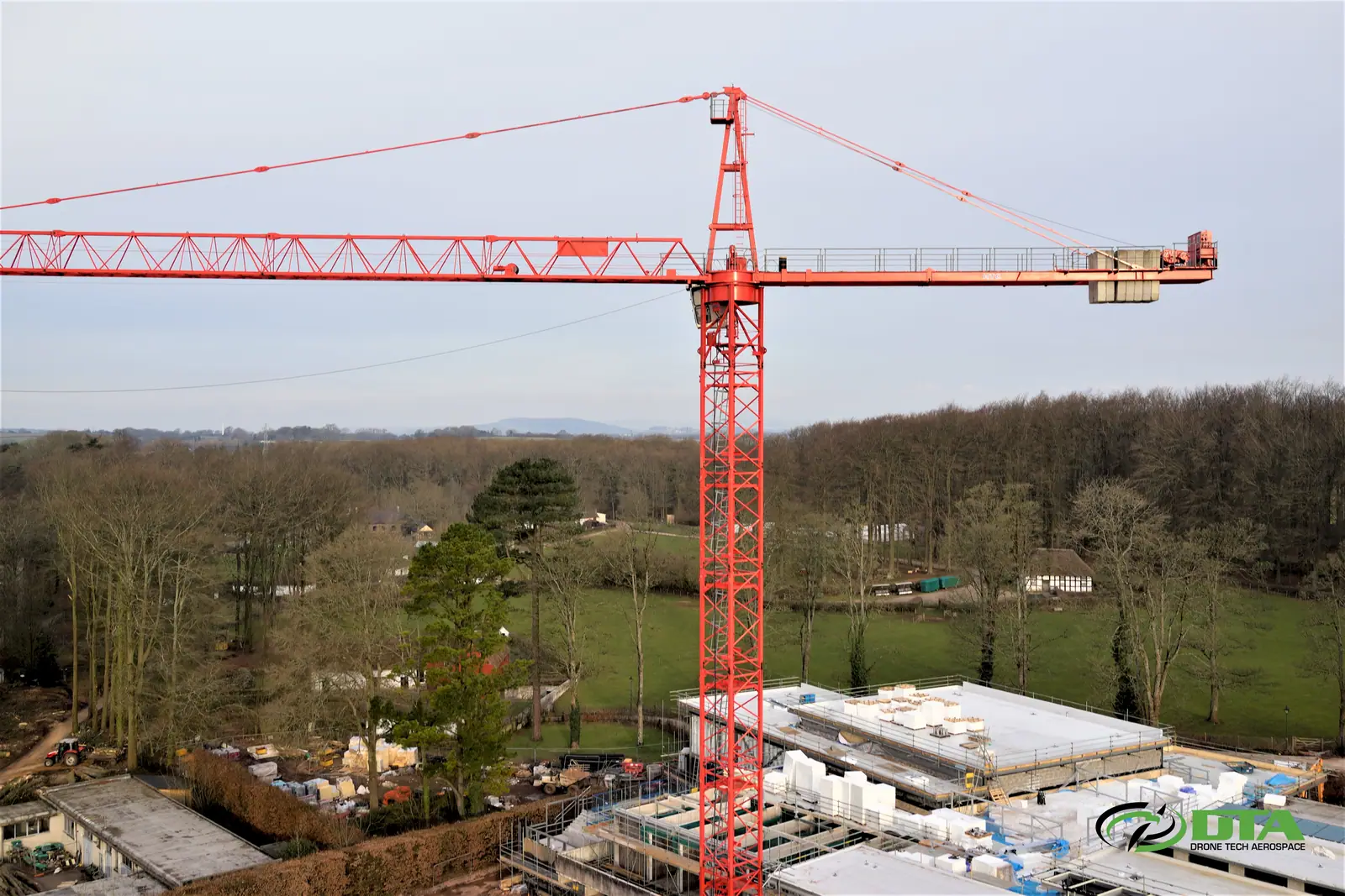
Construction & civil engineering
Topographical surveys give site teams a single accurate model to build from, while progress media keeps stakeholders updated without a site visit. We've supported HS2 for 6+ years, from early greenfield surveys through to viaduct completion.
TOPO PLANS CAD / GIS POINT CLOUD PROGRESS MEDIA
Explore drone surveying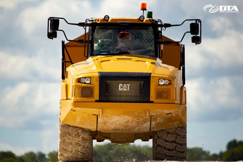
Quarrying, aggregates & recycling
Stockpile and void volumes are measured from survey data, with tonnage estimated using an agreed material-density figure. We're used to straightforward aggregates as well as complex, mixed-material stockpiles at recycling sites.
VOLUMES STOCKPILES CUT & FILL CHANGE OVER TIME
Explore volumes & tonnages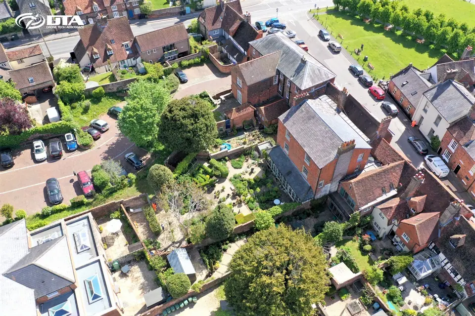
Property, estates & facilities management
Roofs, elevations and estate buildings are inspected from the air, without scaffolding or work at height, giving facilities teams a clear defect record. Repeat inspections track condition across a whole portfolio over time.
ROOFS STRUCTURES DEFECT RECORDS PORTFOLIO INSPECTIONS
Explore drone inspections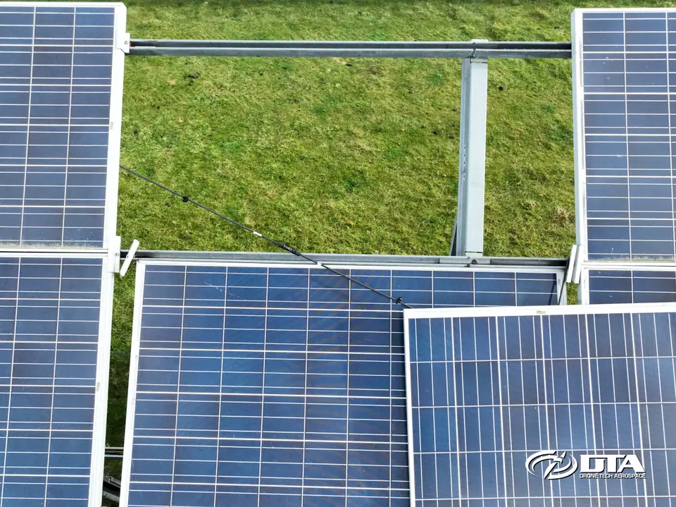
Renewable energy
Solar arrays and wind turbines are inspected from the air, flagging panel rows and blade surfaces for follow-up without isolating the asset or working at height. Inspections can be repeated on a cycle to track condition over the life of the asset.
SOLAR PANELS TURBINE BLADES DEFECT RECORDS INSPECTION REPORTS
Explore drone inspections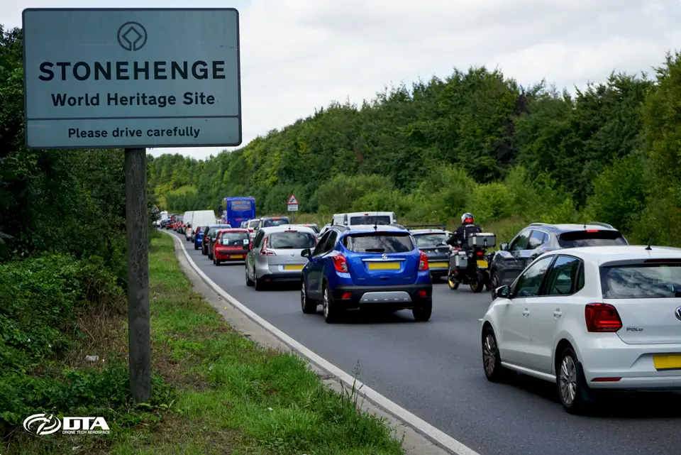
Infrastructure & utilities
Highways, pipeline corridors and utility networks are surveyed and monitored from the air, producing CAD-ready plans and repeatable records along the route. Remote and off-road access is rarely a problem for our pilots.
TOPO PLANS CORRIDOR SURVEYS MONITORING CAD / GIS
Explore drone surveying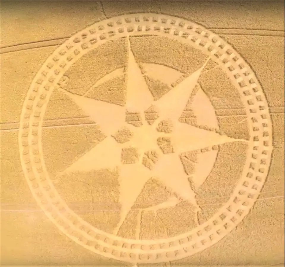
Agriculture, heritage & leisure
Farmland and estates are surveyed for planning and land management, and heritage or leisure sites are filmed for promotional and archive use — including work at Caerphilly Castle, Tintern Abbey and St Fagans.
ESTATE SURVEYS AERIAL PHOTOGRAPHY VIDEO HERITAGE FILMING
Explore media & progressFree, no-obligation quotation
Tell us about your site.
Send the location and what you need — we'll come back with a clear scope and price.