
Drone land & topographical surveys
Digital topographical surveying
Whole sites captured fast and delivered as 2D plans, contours, point clouds and 3D models — ready to drop straight into your CAD, GIS or BIM workflow.
What you receive
A full deliverable matrix, not just photos
Every survey is processed into the outputs your team already works with — CAD-ready, GIS-ready and BIM-ready.
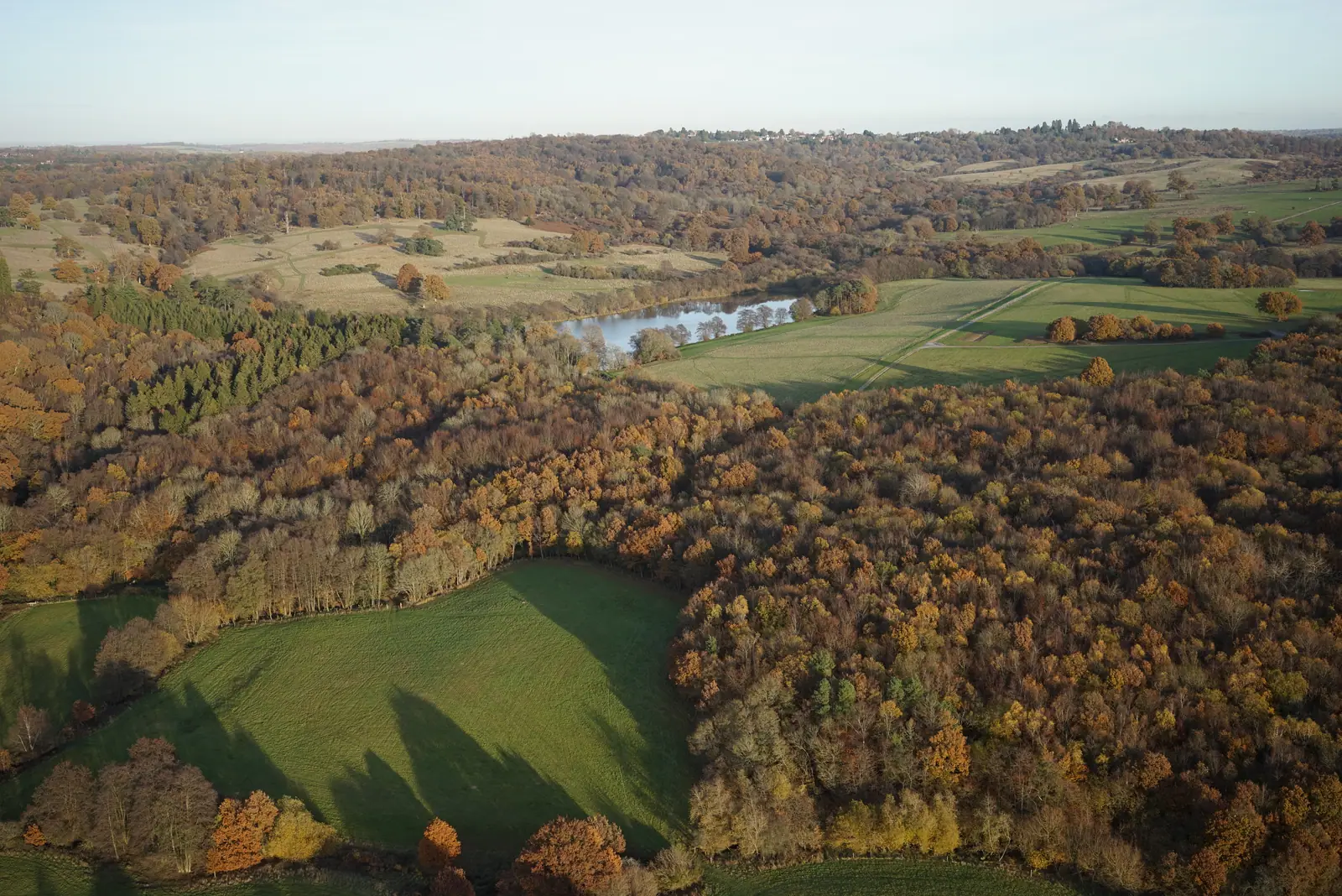
Orthomosaic imagery
A single, measurable top-down image of the whole site.
Georeferenced · print & GIS ready
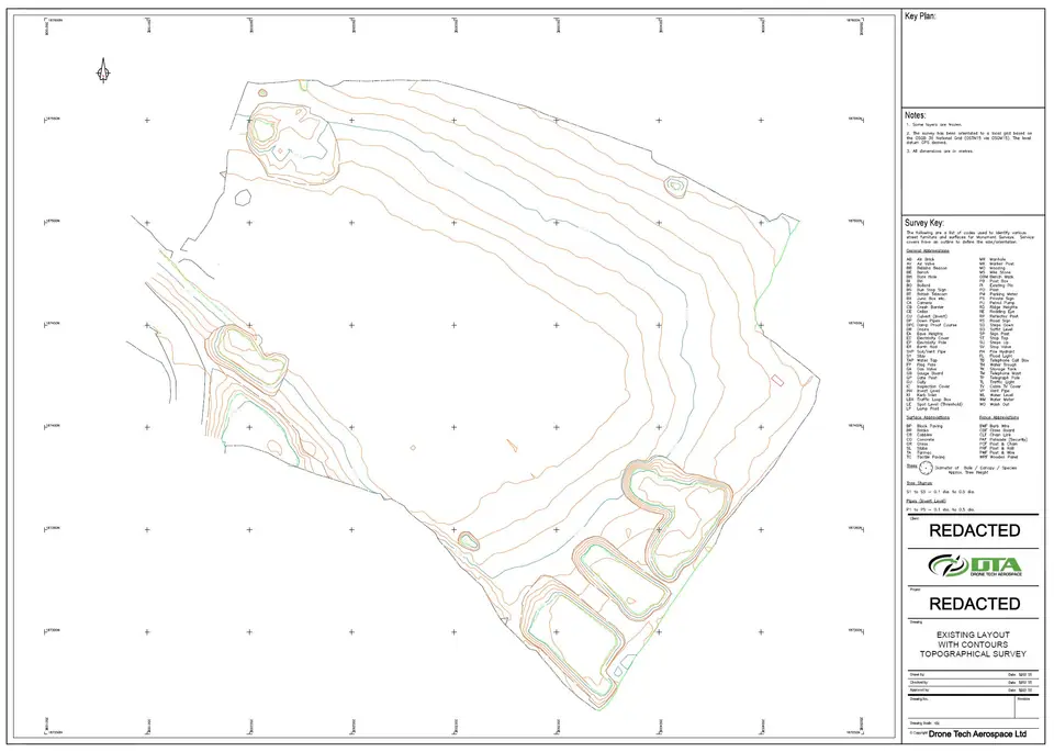
Topographical plans & contours
Traditional 2D drawings your engineers can design from.
CAD formats · levels & features
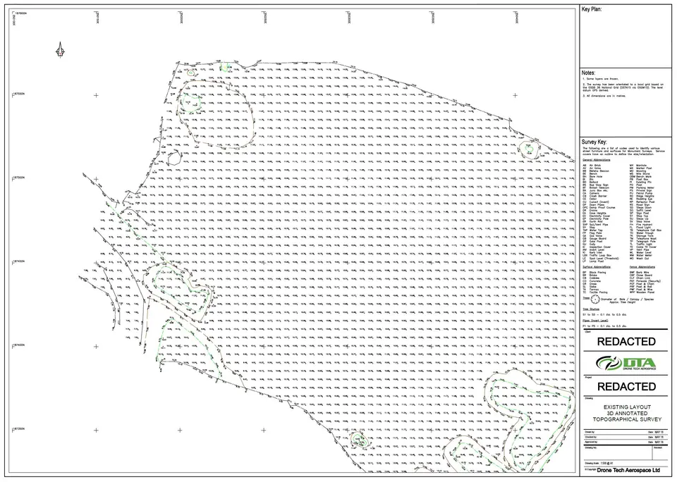
Point-grid drawings
Spot-level grids for earthworks design and setting out.
Spot levels · CAD formats
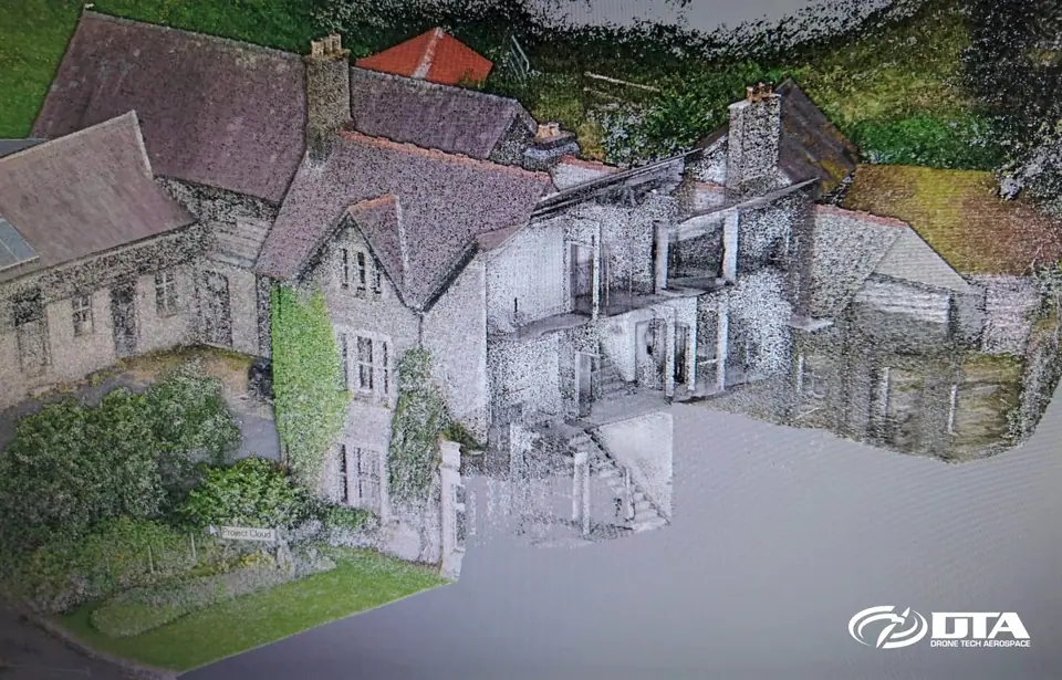
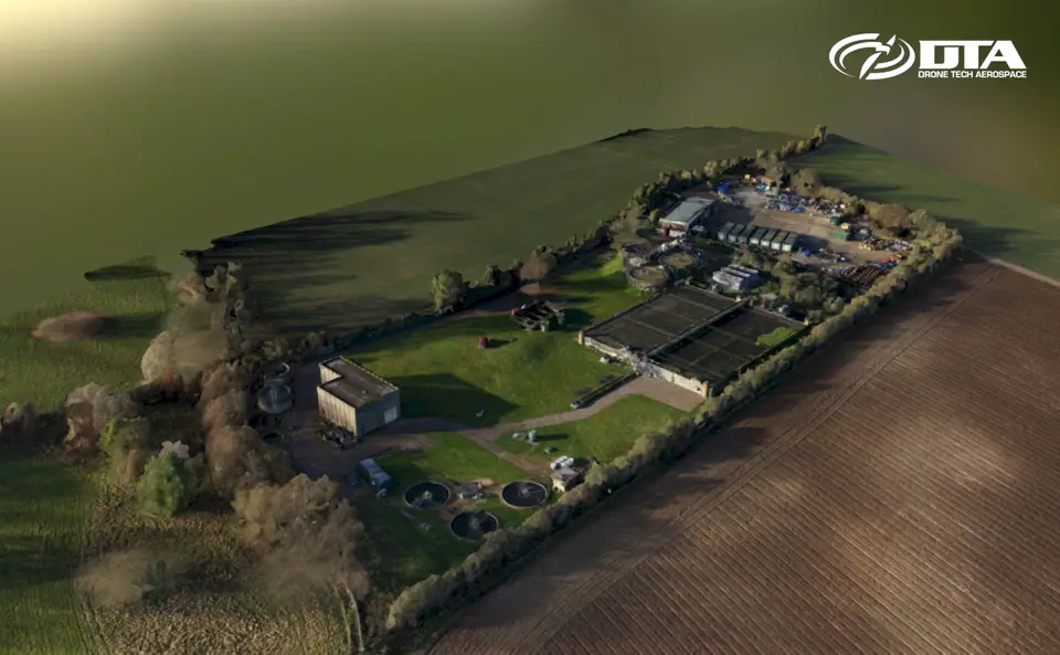
Point clouds
Dense 3D measurement data for design, BIM and analysis.
Aerial + terrestrial merge
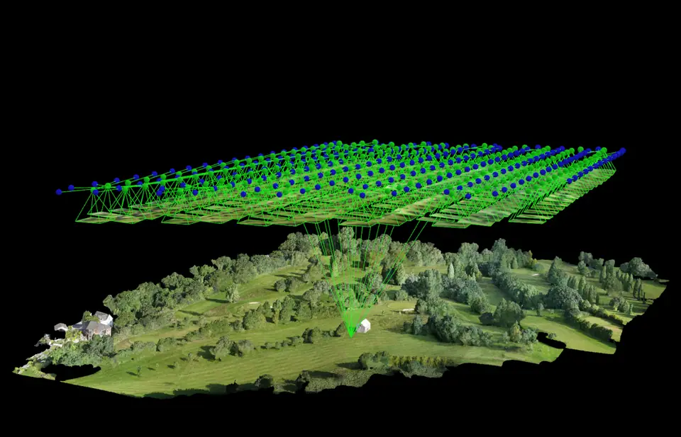
DTM/DSM & 3D models
Digital terrain and surface models, plus interactive fly-throughs.
DTM / DSM · model fly-through
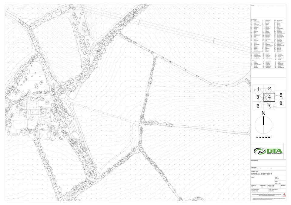
CAD & GIS outputs
Standard interchange formats used across surveying and civils.
Industry-standard formats
Every dataset is also available through an online cloud viewer with built-in measurement tools — so your team can view, measure and share the survey without installing specialist software.
Cloud viewer · included
How it works
From capture to deliverable
-
STEP 01
Plan the capture
We plan the flight, ground control and any access or permissions the site needs.
-
STEP 02
Fly the site
Our own pilots capture the whole site in a single, planned set of flights.
-
STEP 03
Photogrammetric processing
Captured images are processed into a measurable, geo-referenced 3D model of the site.
-
STEP 04
Your deliverables
Plans, contours, point clouds and models are exported in the formats your team uses.
Measured building surveys
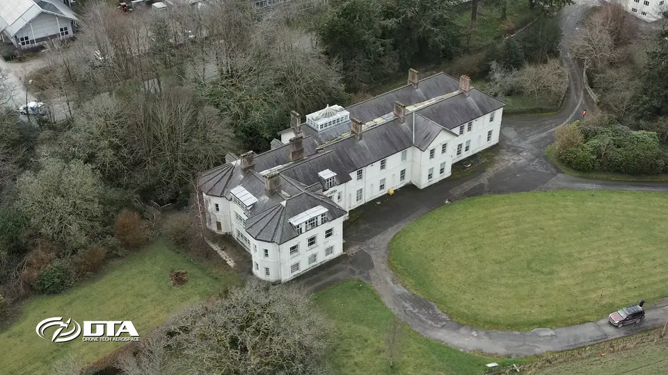
Existing buildings, measured accurately
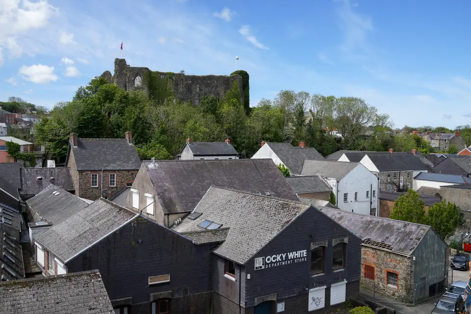
We also survey existing buildings — elevations, roof plans and point clouds captured by drone, combined with ground-level detail where access allows.
The result is a measured record that architects, planners and building surveyors can design and plan from.
Repeat surveys
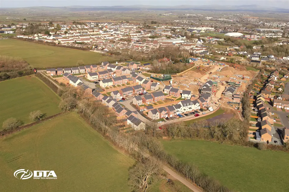
Track change over time
Many sites need more than a single visit. We repeat surveys at agreed intervals — progressive earthworks, phased construction, a changing landscape — so each new dataset lines up directly against the last.
That gives you a clear, comparable record of how the site has moved.
Track record
Proven on some of the UK's biggest sites
- On HS2
- 6+ years
- greenfield surveys to viaduct completion
- Largest survey
- 1,200 ha
- believed to be the UK's largest drone topographical survey
"From the initial feasibility discussions about the scheme with John and David it was clear they have a real passion for what they do, coupled with excellent technical knowledge of surveying in general."
Technical detail
Questions we're often asked
What is an orthomosaic?
How does drone photogrammetry work?
What affects survey accuracy?
Free, no-obligation quotation
Tell us about your site.
Send the location and what you need — we'll come back with a clear scope and price.